FRIENDS OF ROUGE PARK
Home
About Us
Mission and Goals
Board & Staff
Members & Sponsors
Newsletters & Presentations
Report on Community Conversations
Events Calendar
About Rouge Park
Rouge Park Map
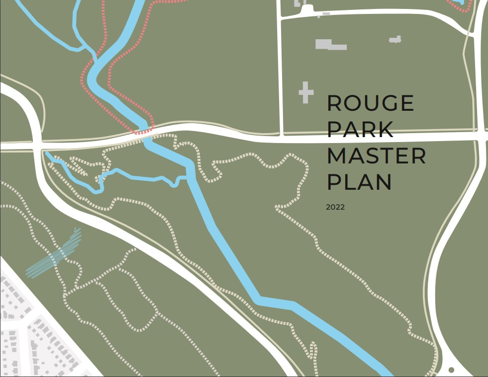
Master Plan
Trails
Butterflies in Rouge Park
Join/Donate
Home
About Us
Mission and Goals
Board & Staff
Members & Sponsors
Newsletters & Presentations
Report on Community Conversations
Events Calendar
About Rouge Park
Rouge Park Map
Master Plan
Trails
Butterflies in Rouge Park
Join/Donate